- Your IP : 414.569.54.99
- Your Location : India
- Your Status : Protected
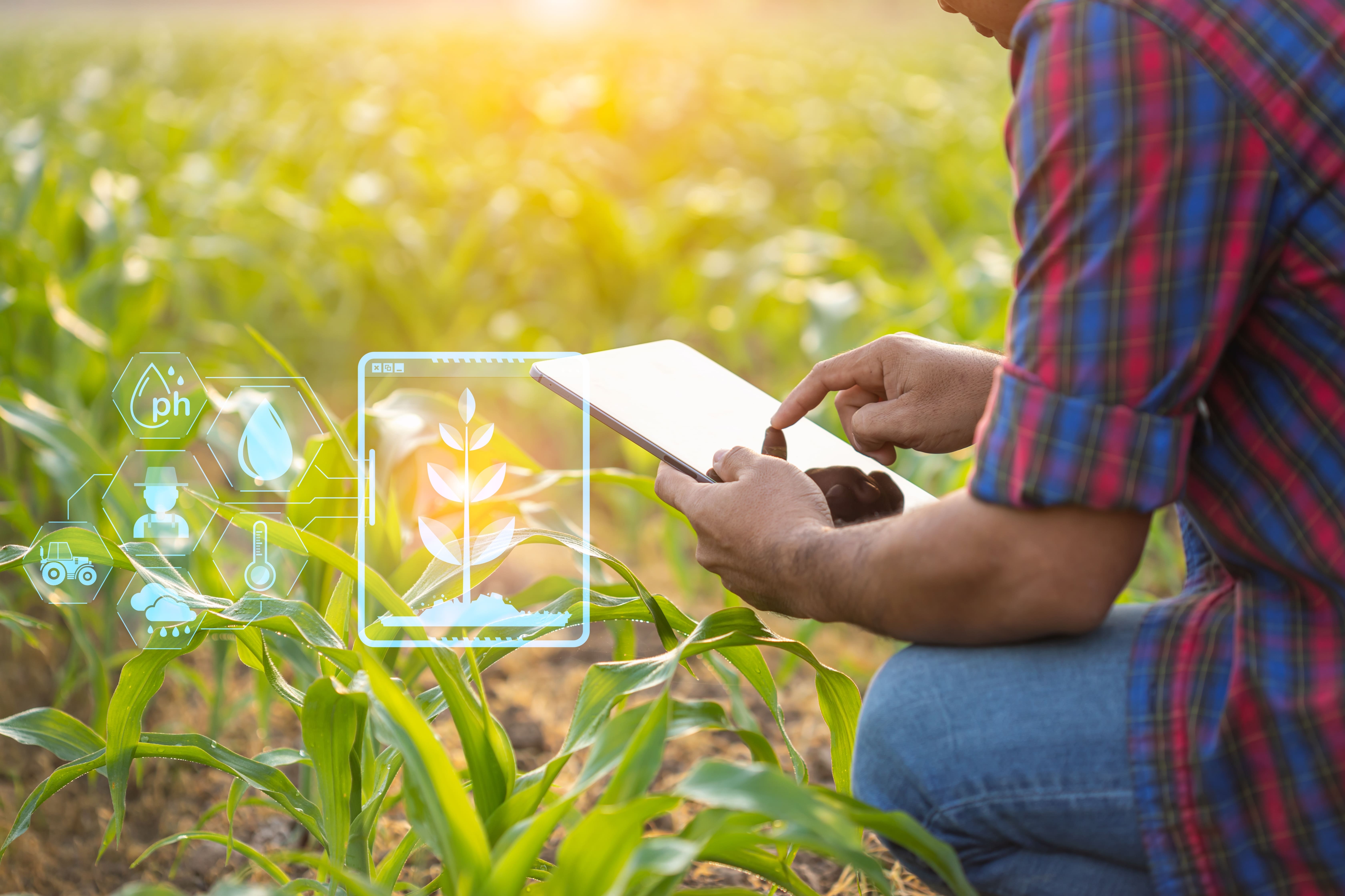
GIS
Technology
Dhara
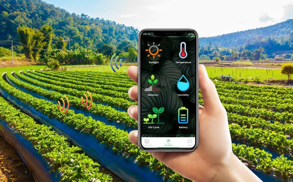
Mitra web-based agriculture monitoring system brings together critical data
crop health, weather forecasts, phenology, farm operations, vegetation indices,
soil moisture, and more into one easy-to-use platform. Dhara Mitra Crop
Analytics offers everything needed to make informed decisions and drive
sustainable farming practices.
1. Precision Mapping:
Uses
Geographic Information Systems (GIS) to map soil health, identify crop
suitability, and determine irrigation zones.
2. Actionable Insights:
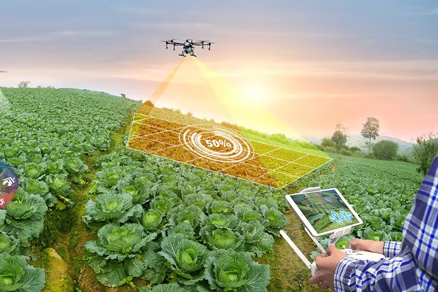
Precision farming is a modern agricultural practice that uses technology like GPS, sensors, and data analytics to optimize crop yields and resource efficiency. It helps farmers reduce waste, conserve water, and improve productivity by targeting specific areas of fields with tailored interventions.
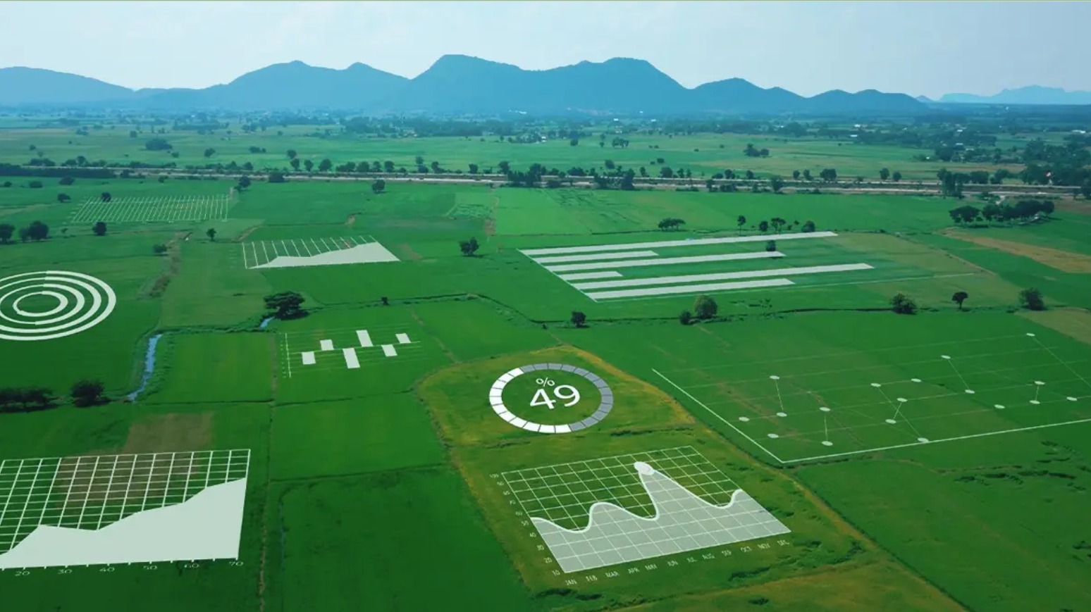
Soil analysis is the process of testing soil to determine its nutrient content, pH level, and overall health. It helps farmers make informed decisions about fertilizers, crop selection, and soil management for better yields. Maps soil properties like pH, texture, and nutrients for better yield planning.
Land use planning is the strategic process of allocating land for specific purposes to balance development and environmental conservation. It ensures sustainable resource use, minimizes conflicts, promotes efficient land management. Land use planning ensures efficient and sustainable land use.
💡 Contact us to learn how our solutions can transform your farming practices.
🌱 Together, let’s grow a sustainable and prosperous agricultural future.

GIS is a technology that captures, stores, analyzes, and visualizes spatial data, helping farmers make informed decisions based on land and crop conditions.
GIS helps in precision farming by analyzing soil types, crop health, and water availability, allowing farmers to apply resources like fertilizers and water only where needed.
GIS maps water sources, monitors soil moisture, and identifies areas needing irrigation, helping conserve water and optimize its usage.
GIS integrates data from drones, satellites, and sensors to monitor crop health, detect diseases, and assess growth stages in real-time.